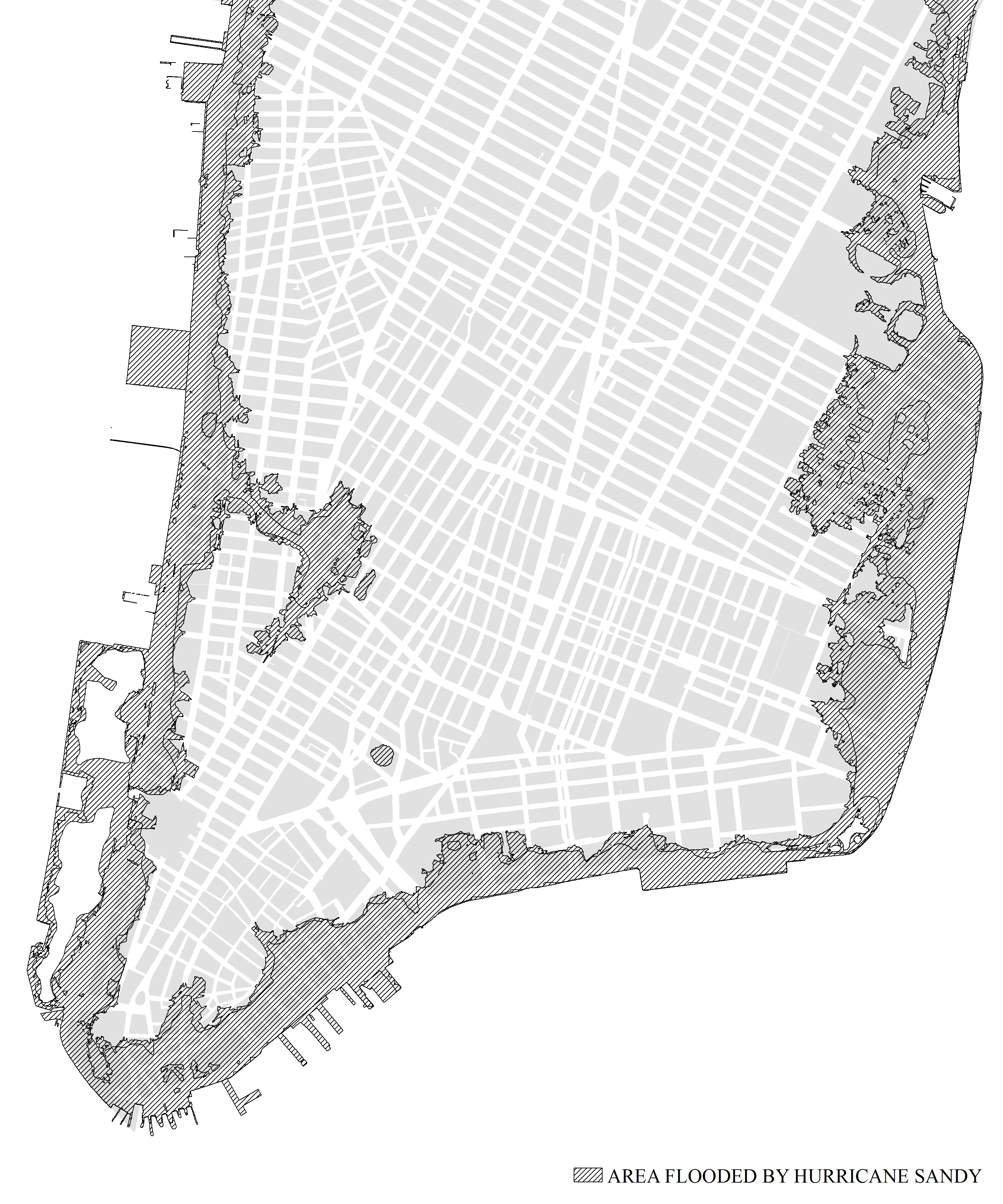
Fig. E.1: The Sandy Effect. This map shows the area of lower Manhattan that was flooded by
Hurricane Sandy in 2012. We can see that much of the land that was inundated was made land,
filled in over the centuries since 1626. Note, however, that one area was relatively unscathed:
Battery Park City, which was created from infill in the 1970s. This suggests that making new
land, with climate change in mind, can protect lower Manhattan from sea level rise as well as
damage from storm surges. Source: Map by Eon Kim. Inundation zone data courtesy of the
National Resources Defense Council.
Leave a Reply