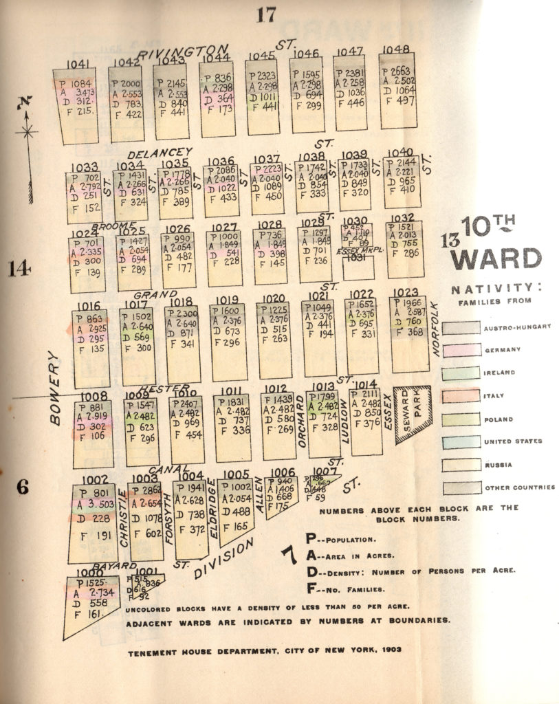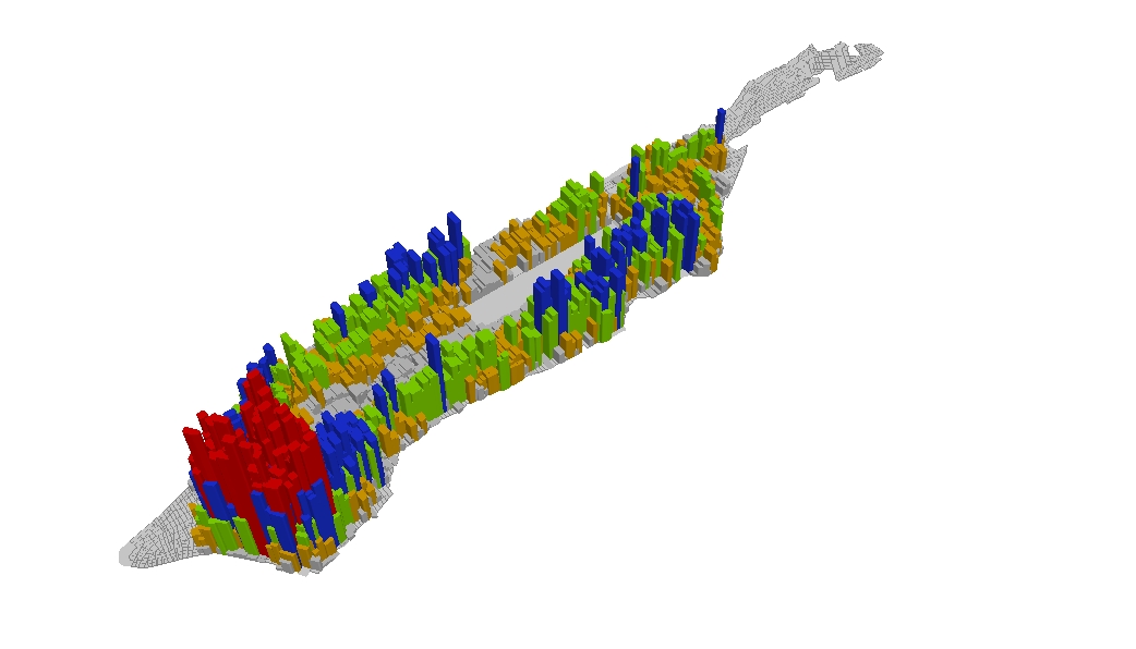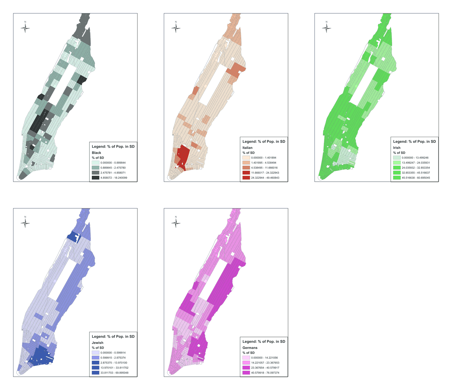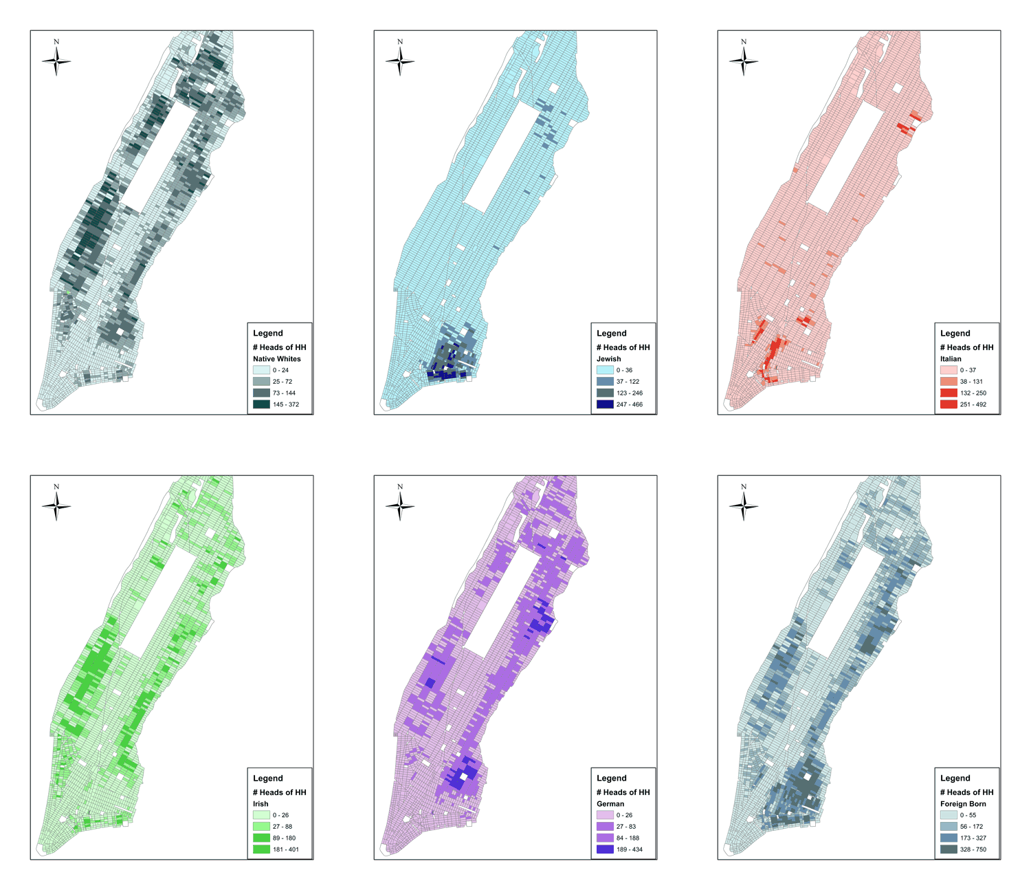
Figure: Population Density Map of the Lower East Side in 1900
This map, created by the newly-formed Tenement House Department, shows the populations, population densities and predominant nationalities for each block in the 10th Ward in 1900. The block bound by Broome, Delancey, Orchard and Allen Streets had a density of 1,089 per acre, one of the densist blocks on planet earth at the time. Consider a “typical” suburban family today, with say 5 people in a house on a quarter acre lot. This gives a density of 20 people per acre. In 2010, Census Tract 18, which includes the block above, had a population density of 157 people per acre.


